
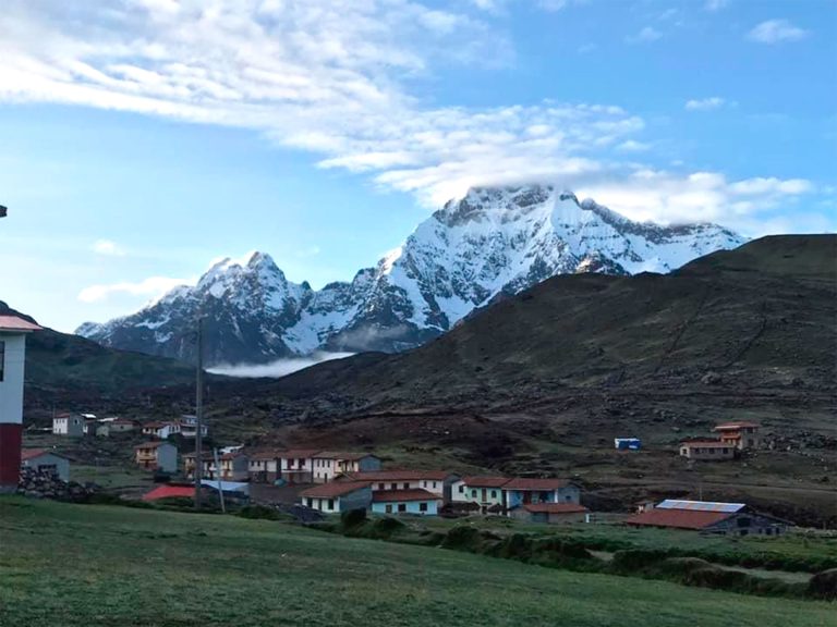
 4.7 3 Days

Ausangate Treks
Ausangate Trek from Cusco: 5 Routes, Altitude Profile and Fees
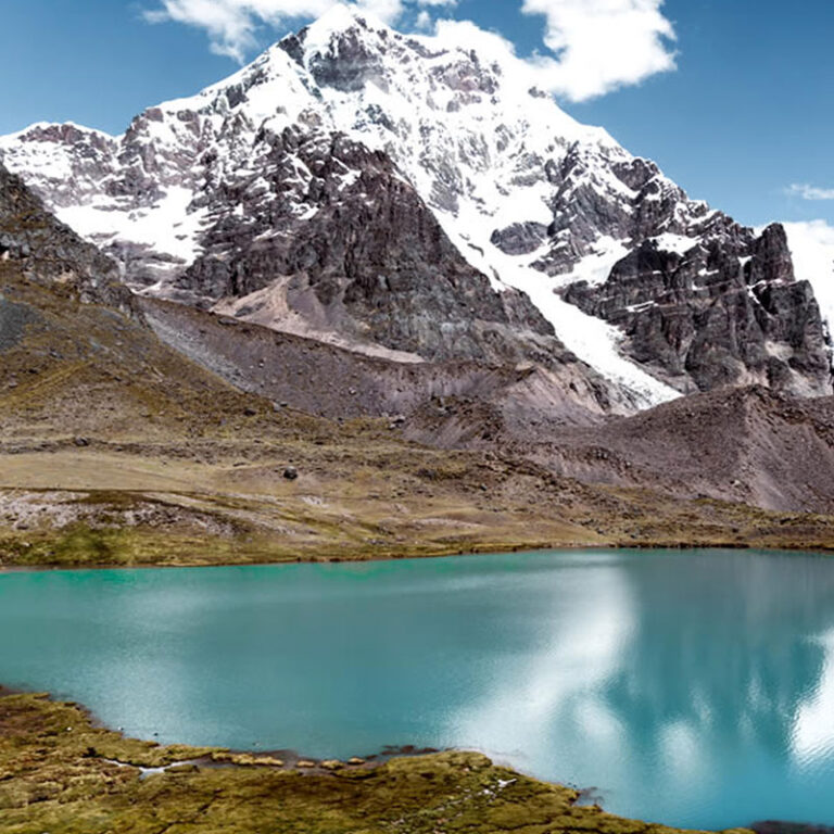
It is the highest mountain in Cuzco and the fifth highest in Peru. According to Inca mythology, this mountain and the nearby lakes such as Sibinacocha, it is said that the masculine energy that fertilizes mother earth Pachamama is born here. The Chillca community made up of llamas and alpacas herders are the guardians of these pristine places, a unique environment.
The Ausangate trek circles Nevado Ausangate (6,384 m), the highest mountain in the Cusco region, on herders’ trails past glacier lagoons, hot springs and passes of up to 5,200 m. We run five routes of 3 to 6 days, three of them with Rainbow Mountain, from US$400 per person.
4.7 3 Days 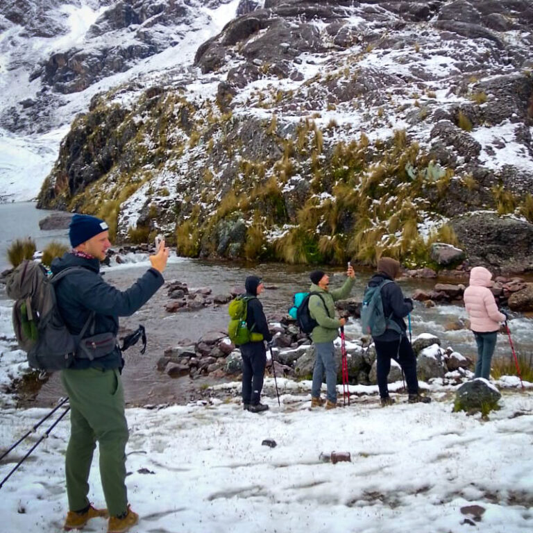 4.7 4 Days
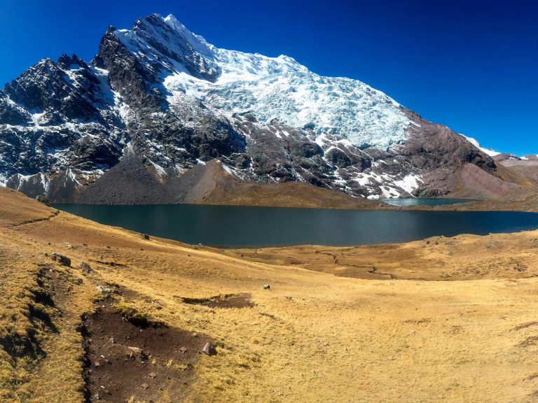 4.7 5 Days
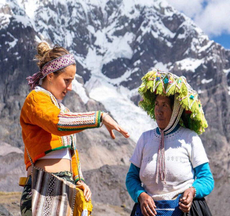 4.7 6 Days
 4.7 6 Days
The Ausangate trek is a high-altitude circuit around Nevado Ausangate (6,384 m / 20,945 ft), the highest mountain in the Cusco region, about 100 km (62 mi) from the city of Cusco. Our five routes last 3 to 6 days, reach up to 5,200 m / 17,060 ft at Palomani or Condor Pass, and start at US$400 per person. You walk around the mountain, not up it, past alpaca-herding communities, glacier lagoons and the hot springs of Upis and Pacchanta.
- 5,200 m(17,060 ft) is the highest pass on our routes: Palomani on the 5-day circuit and Condor Pass on the Sibinacocha trek.
- 3 to 6 daysFive departures from Cusco, all rated challenging; three include Rainbow Mountain.
- From US$400per person, with community entrance fees included on every route.
Our 5 Ausangate treks compared
Every figure comes from our own day-by-day itineraries. Where an itinerary gives no camp altitude, the table says so instead of guessing.
| Tour | Days | Route (start → finish) | Rainbow Mountain | Highest point | Nights above 4,500 m / 14,764 ft | From |
|---|---|---|---|---|---|---|
| Ausangate trek 3 days | 3D/2N | Upis Pampa (by road via Tinki) → Upis hot springs → Arapa Pass → Pucacocha → Ananta → Rainbow Mountain → Quesiuno | Yes, day 3 | 4,989 m / 16,368 ft (Arapa Pass), then Rainbow Mountain | 1 of 2 (Ananta, 4,700 m / 15,420 ft) | US$400 |
| Ausangate trek 4 days | 4D/3N | Tinki → Upis hot springs → Arapa Pass → Pucacocha → Ausangate Pass → Minasniyuq Pass → Surine lake → Rainbow Mountain → Quesiuno | Yes, day 4 | 5,020 m / 16,470 ft (Minasniyuq Pass and Rainbow Mountain) | At least 1 of 3 (Surine, 4,800 m / 15,748 ft); Pucacocha not listed | US$460 |
| Ausangate trek 5 days | 5D/4N | Tinki → Upis → Arapa Pass → Pukacocha lagoons → Apuchata Pass → Ausangatecocha → Palomani Pass → Jampa → Pacchanta hot springs → Tinki | No | 5,200 m / 17,060 ft (Palomani Pass) | None of 4 (camps at 4,100–4,440 m / 13,451–14,567 ft) | US$510 |
| Ausangate trek 6 days with Rainbow Mountain | 6D/5N | Tinki → Upis hot springs → Arapa Pass → Ausangatecocha → Palomani Pass → Vinicunca → Ticllacocha → Jampa Pass → Pacchanta hot springs → Tinki | Yes, day 3 (camp at Vinicunca) | 5,100 m / 16,732 ft (Palomani and Jampa passes) | Not listed for 3 of 5 camps | US$560 |
| Ausangate Sibinacocha trek | 6D/5N | Pacchanta (by road) → Q’ampa Pass → Ticllacocha → Yanamayo → Condor Pass → Sibinacocha lake → Ccascana → Phinaya; no Upis | No | 5,200 m / 17,060 ft (Condor Pass) | Not listed; at least five passes of 5,000–5,200 m / 16,404–17,060 ft | US$700 |
Prices in US dollars per person, 2026–2027 season; on some routes the price changes with group size, so check each tour page.
Which Ausangate route should you choose?
- Short on time: the 3- or 4-day route, lagoons plus Rainbow Mountain. The 3-day packs more into each day: 14 km (8.7 mi) and about 8 hours on day 2, then a 3:45 a.m. start.
- The full circuit: the 5-day trek, Tinki to Tinki over Palomani Pass, with hot springs at Upis and Pacchanta and every camp below 4,500 m / 14,764 ft.
- Rainbow Mountain without rushing: the 6-day route, which camps at Vinicunca and ends at Pacchanta.
- The most remote: the Sibinacocha trek, beyond the classic circuit to Sibinacocha lake and the community of Phinaya, where there are no cars.
Choosing between colored mountains too? Read Rainbow Mountain vs Palcoyo vs Pallay Punchu.
The Ausangate circuit: route and altitude profile
The classic Ausangate circuit starts in Tinki, a small market town past Ocongate on the Cusco–Puerto Maldonado road, 2 to 4 hours from Cusco by private transport according to our itineraries. The trail climbs to the hot springs of Upis, crosses Arapa Pass to the red and turquoise Pucacocha lagoons, passes Ausangatecocha below the glacier, tops out at Palomani Pass and returns over Campa (Jampa) Pass to Pacchanta and Tinki. The 3- and 4-day routes leave the circuit after the lagoons for Rainbow Mountain.
How long is it? Published distances for the circuit run from about 57 to 73 km (35–45 mi), because operators start and finish in different places (Tinki, Upis or Pacchanta) and cross different passes. Our 3-day route covers 34 km (21 mi).
| Point | Our itineraries | Other sources (approx.) |
|---|---|---|
| Cusco | 3,400 m / 11,155 ft | See Lima to Cusco |
| Tinki | 3,800 m / 12,467 ft (5-day); 3,950 m / 12,959 ft (6-day) | 3,800–3,900 m / 12,467–12,795 ft |
| Upis hot springs | 4,100 m / 13,451 ft (4-day) to 4,400 m / 14,436 ft (5- and 6-day) | 4,400–4,408 m / 14,436–14,462 ft |
| Arapa Pass | 4,850 m / 15,912 ft; 4,989 m / 16,368 ft on the 3-day | 4,757–4,850 m / 15,607–15,912 ft |
| Apuchata Pass | 4,900 m / 16,076 ft (5-day) | 4,900 m / 16,076 ft |
| Palomani Pass | 5,200 m / 17,060 ft (5-day); 5,100 m / 16,732 ft (6-day) | About 5,165 m / 16,946 ft in most sources; up to 5,200 m / 17,060 ft |
| Campa (Jampa) Pass | 5,000 m / 16,404 ft (5-day); 5,100 m / 16,732 ft (6-day) | 5,000–5,070 m / 16,404–16,634 ft |
| Pacchanta | 4,100 m / 13,451 ft (5-day); 4,200 m / 13,780 ft (6-day) | No figure found |
These altitudes are not officially surveyed: we found no figure from Peru’s National Geographic Institute (IGN), and sources differ by 100 to 200 m (330–660 ft) or more. Treat every figure as approximate.
Ausangate mountain: how high is it?
Nevado Ausangate is 6,384 m / 20,945 ft high according to most sources, including Wikipedia and SummitPost. PeakVisor gives 6,372 m / 20,906 ft, calculated from elevation models, and Spanish Wikipedia 6,385 m / 20,948 ft. There is no IGN figure, so the height is not officially confirmed. The mountain rises in the Vilcanota range, between the districts of Ocongate (Quispicanchi) and Pitumarca (Canchis).
Ausangate is also an apu, a sacred mountain for Andean communities. The Qoyllur Rit’i pilgrimage, inscribed by UNESCO on its Intangible Cultural Heritage list, takes place about 20 km (12 mi) north of the peak. Our treks go around the summit; climbing it is a separate mountaineering expedition.
Ausangate trek difficulty: altitude and acclimatization
Altitude is what makes the Ausangate trek hard. The Classic Inca Trail tops out at 4,215 m / 13,828 ft and the Salkantay pass at about 4,650 m / 15,256 ft; four of our five Ausangate routes cross passes of 5,000 m / 16,404 ft or more, and every camp with a listed altitude sits between 4,100 m / 13,451 ft and 4,800 m / 15,748 ft. Compare our Inca Trail treks and Salkantay treks.
- Acclimatize first: 2 to 3 days in Cusco, as every guide we reviewed advises. Our day trip to the 7 Lagoons of Ausangate is a good high test hike, and other Cusco tours help too.
- New to altitude? Choose the 5-day circuit, whose camps stay below 4,500 m / 14,764 ft; the 3-day sleeps at 4,700 m / 15,420 ft on night 2.
- Prepare: follow our 12-week training plan and learn how to spot altitude sickness.
- Safety: all five routes carry a first-aid kit with oxygen. The 5-day and Sibinacocha treks include one emergency horse per 6 travelers; on the 3-day it is an extra cost, and for the 4- and 6-day, ask us.
Community fees and hot springs: what our tours include
Unlike the Inca Trail, Ausangate needs no state permit and is not a national protected area; the communities along the trail charge their own entrance fees. Hikers’ reports from 2017 to 2024 give different amounts and none comes from an official source, so we do not repeat them. On our tours the community entrance fees are included.
| Tour | Fees included | Hot springs |
|---|---|---|
| 3-day | All permits and entry fees | Upis; entry not itemized |
| 4-day | Ausangate Circuit entrance, also for guides and porters | Upis entry extra: PEN 10 per our itinerary (October 2026) |
| 5-day | Tinki visitor fee and campsite fees | Upis and Pacchanta; entry not itemized |
| 6-day | Area and Rainbow Mountain entrance | Upis and Pacchanta entry extra |
| Sibinacocha | Tinki visitor fee and campsite fees | Pacchanta; entry not itemized |
Bring some soles in cash for hot springs and snacks. Not included on any route: sleeping bag (rental on the 3- and 4-day), tips and travel insurance. A riding horse costs S/70 on the 3- and 4-day routes.
Best time for the Ausangate trek
Most trekking guides put the best season at May to September, the dry months, and some extend it to October. Expect clear days and nights of −5 °C (23 °F) or colder at camp; our longer treks use four-season tents. February is the wettest month, and some Ausangate routes close then. See our month-by-month guide to the Cusco seasons.
Ausangate trek or Rainbow Mountain in one day?
If Rainbow Mountain (Vinicunca) is all you want, a day trip from Cusco is enough: our Rainbow Mountain guide covers altitude, access and timing, and Vinicunca vs Palcoyo vs Pallay Punchu compares the three colored mountains. Choose the Ausangate trek for glaciers, lagoons and nights in camp, reaching Rainbow Mountain on foot on the 3-, 4- or 6-day routes.
Frequently asked questions
How hard is the Ausangate trek?
Challenging, because of altitude rather than technical terrain. You cross passes of about 5,000–5,200 m (16,404–17,060 ft) and walk up to 8 hours a day, so you need good fitness and 2 to 3 days in Cusco first.
How high is Ausangate, and what is the highest point of the trek?
The summit is 6,384 m / 20,945 ft according to most sources, with no official IGN figure. Our highest point is 5,200 m / 17,060 ft, at Palomani Pass (5-day) and Condor Pass (Sibinacocha); most sources put Palomani at about 5,165 m / 16,946 ft.
How many days do I need?
3 to 6 days of trekking plus 2 to 3 in Cusco. For the full circuit, choose the Ausangate trek 5 days; with less time, the 3- or 4-day routes add Rainbow Mountain.
Ausangate vs Salkantay: which is harder?
Ausangate. The Salkantay pass is about 4,650 m / 15,256 ft; our Ausangate routes cross passes of up to 5,200 m / 17,060 ft and camp at up to 4,800 m / 15,748 ft. Most of our Salkantay treks continue to Machu Picchu; Ausangate treks return to Cusco.
Can I include Rainbow Mountain?
Yes, on the Ausangate trek 3 days, the Ausangate trek 4 days and the Ausangate trek 6 days. The 5-day circuit and the Sibinacocha trek do not go there.
Do I need a permit or cash for community fees?
There is no state permit. The communities charge entrance fees, which our tours include; bring some soles for hot springs, snacks and tips.
How cold does it get at night?
In the dry season, −5 °C (23 °F) or colder at camp. A sleeping bag is not included on any route, so bring a warm one or rent one on the 3- and 4-day routes.
How many days should I acclimatize?
At least 2 to 3 days in Cusco. A high day hike such as the 7 Lagoons of Ausangate beforehand shows how your body handles altitude.
Can I hike Ausangate without a guide?
It is possible, since no permit is required, but the route has no fixed campsites or rangers and is poorly signposted. On a tour, the guide, cook and pack horses handle navigation, meals and camp.
Is there oxygen and an emergency horse?
Oxygen, yes, on all five routes. An emergency horse is included on the 5-day and Sibinacocha treks (one per 6 travelers), is an extra on the 3-day, and for the 4- and 6-day, ask us.